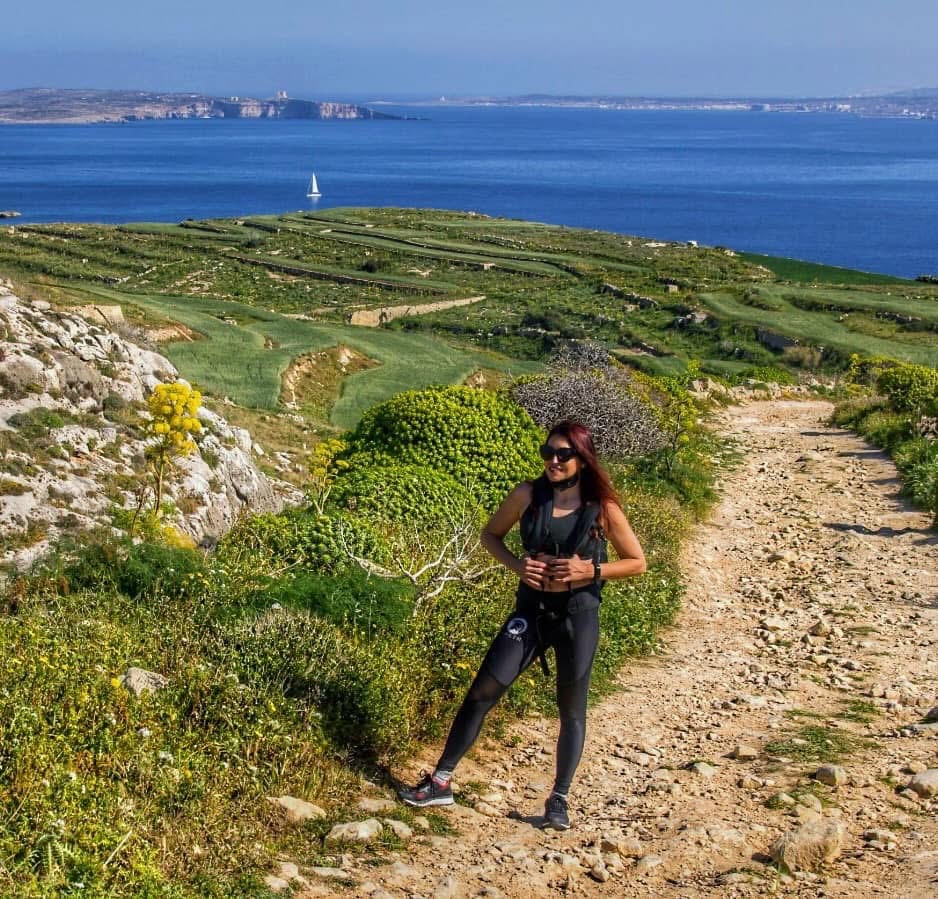
You step off the Gozo ferry at Mġarr Harbour. Most people get on a bus to Victoria. Some grab a taxi to Ramla Bay. Almost nobody turns south and starts walking.
That's the move.
Twelve kilometres of Gozo's south coast, from the ferry terminal to a cold drink in Xlendi. Past a bay where Brad Pitt and Angelina Jolie filmed a movie. Along 130-metre cliffs that drop straight into deep blue nothing. Through farmland so green it looks photoshopped. Ending at a tiny fishing village where the sunset hits the water and you wonder why you ever bothered with crowded beaches.
This is the Mġarr to Xlendi hike, and it's the best walk in the Maltese Islands that nobody talks about.
The Route at a Glance
| Detail | Info |
|---|---|
| Distance | ~12 km point-to-point |
| Time | 3.5–4.5 hours (with swim and photo stops) |
| Difficulty | Moderate — some rocky sections, mostly flat to rolling |
| Elevation | ~200m total gain, nothing steep |
| Trail type | Mix of dirt paths, rocky coastal trail, quiet country lanes |
| Best season | October–May (avoid July–August midday heat) |
| Start | Mgarr Harbour (ferry terminal) |
| End | Xlendi Bay (restaurants, bus stop) |
Start early. The south coast has almost no shade. In spring you'll have wildflowers and cool air. In summer, you'll have regret and sunburn. October is the sweet spot — warm enough to swim at Mgarr ix-Xini, cool enough to enjoy the walk.
Interactive Map: Mġarr to Xlendi Trail
Start GPS: 36.0258°N, 14.2993°E — open in Google Maps.
Mġarr Harbour to Mġarr ix-Xini (3 km, ~45 min)
You start at the ferry terminal — the big harbour with the church on the hill above it. Don't go up. Go south.
Follow the road that curves along the coast, past the fishing boats and the quiet residential area south of the harbour. After about twenty minutes the tarmac gives way to a dirt trail and the landscape opens up. Green terraced fields on your left, the sea on your right, and Comino floating on the horizon behind you.
The trail drops into Mġarr ix-Xini — and the first time you see it, you stop walking.
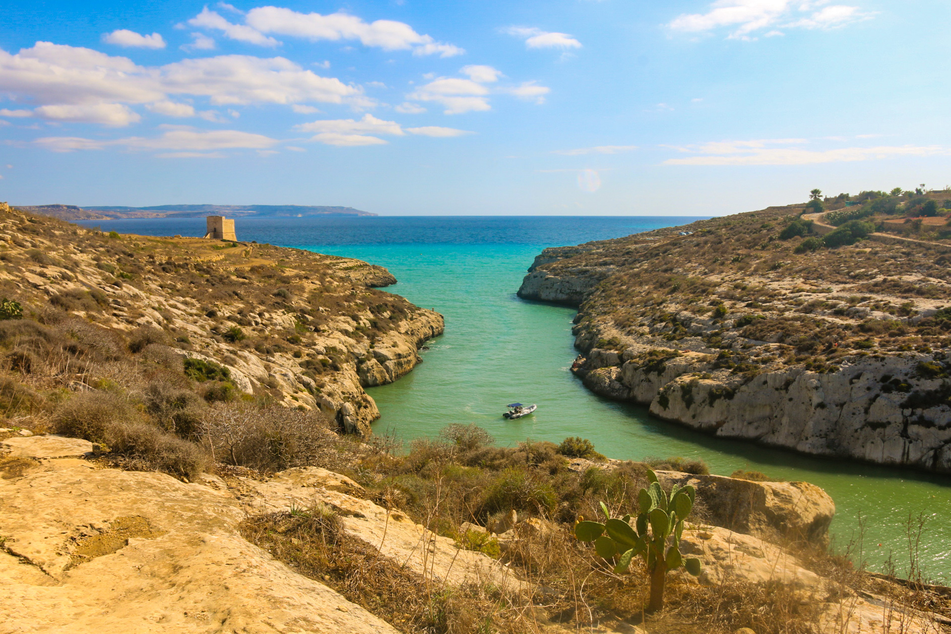
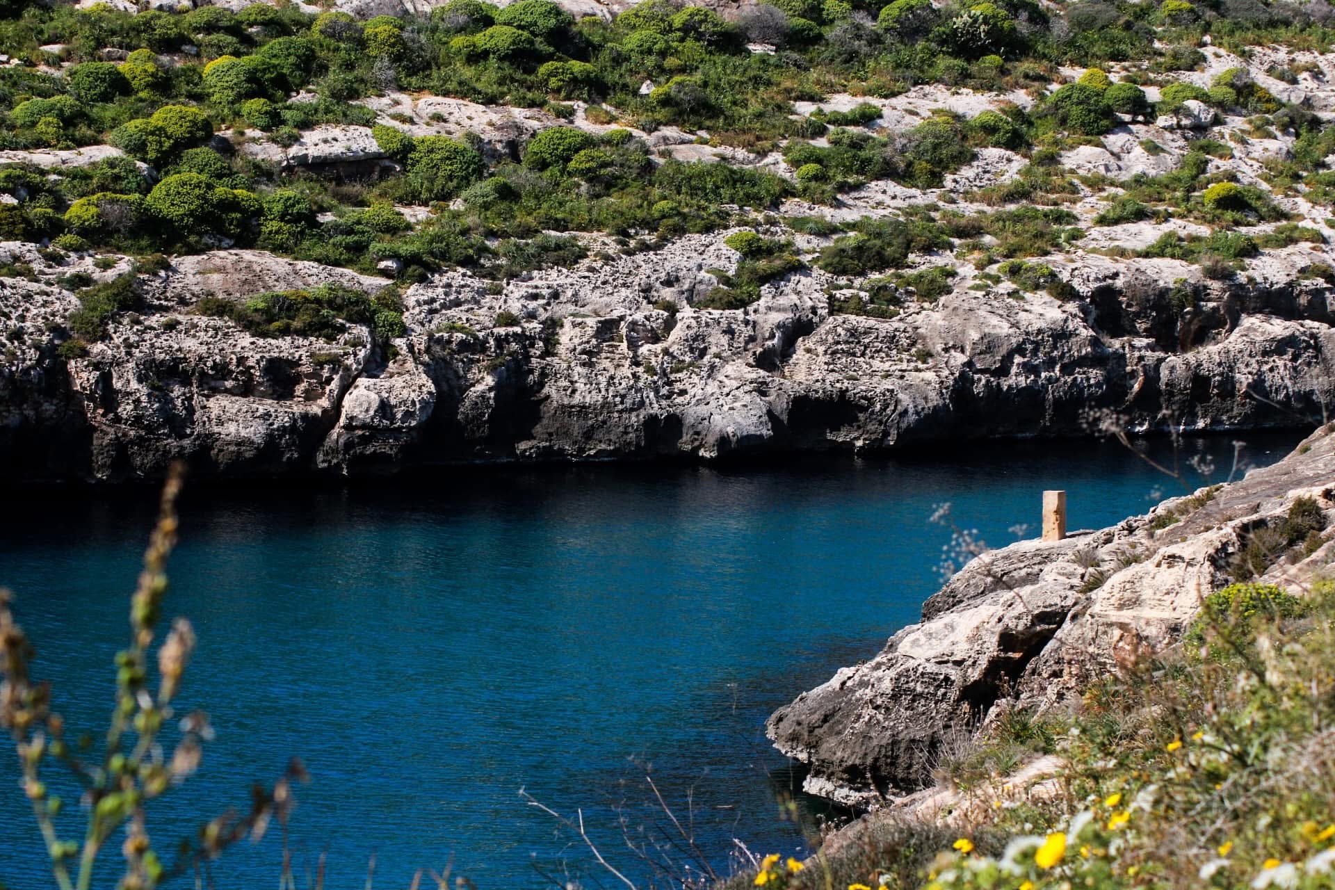
It's a narrow inlet carved deep into the cliff, maybe 200 metres long. The water is that specific Maltese turquoise that looks fake in photographs but is somehow real. Limestone walls rise on both sides, covered in scrub and wild fennel. In the mouth of the inlet, there's usually a sailboat or two anchored in water so clear you can count the rocks on the bottom.
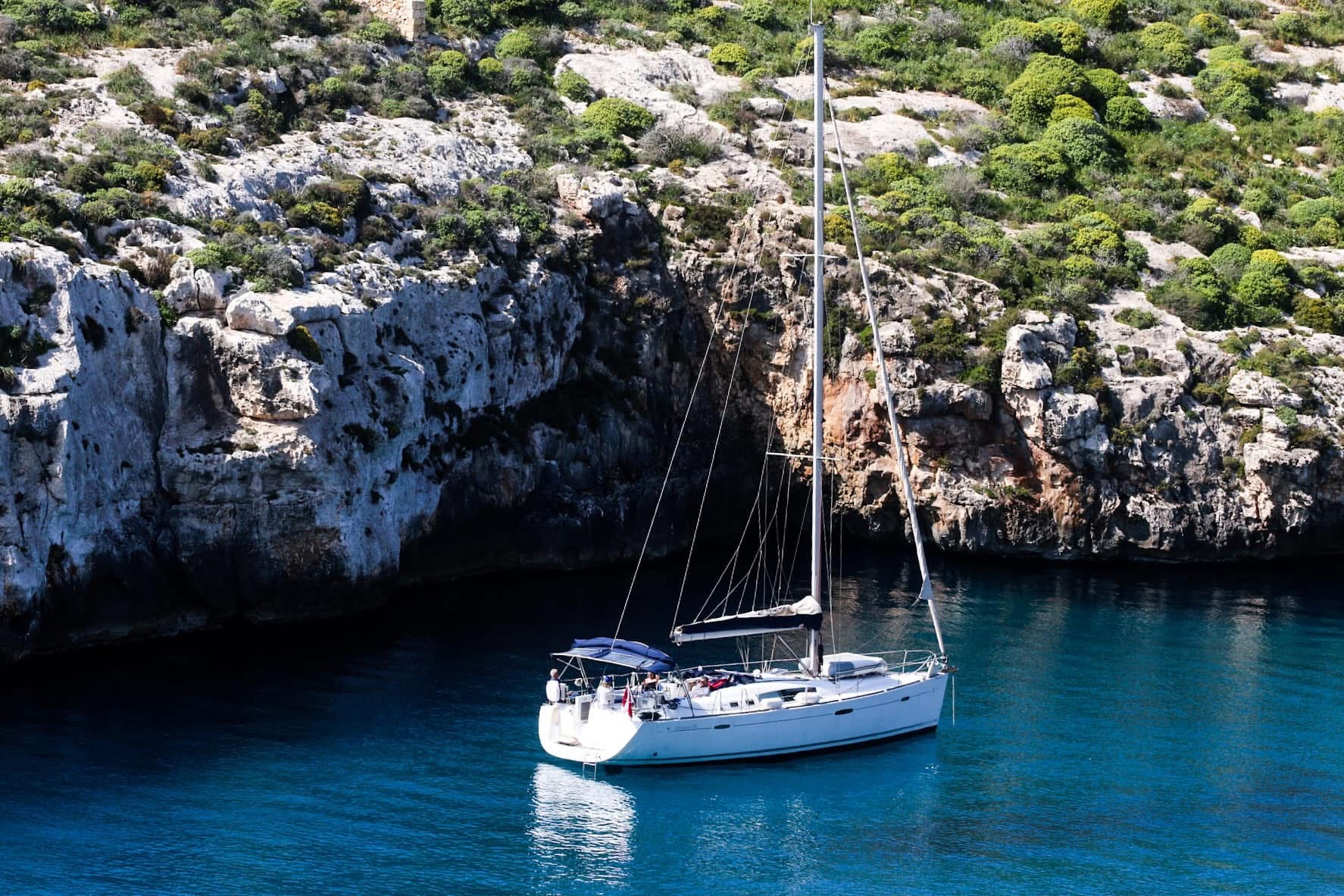
This is your first swim stop. The water is deep, clean, and sheltered from wind. There's a small pebbly area to leave your bag. Take your time — the best part of a point-to-point hike is that there's no rush to loop back.
The Hollywood Connection: By the Sea
This is the bay where Brad Pitt and Angelina Jolie filmed By the Sea in 2015 — their last film together, a moody drama set in 1970s southern France. The production team built a fake hotel facade on the cliff edge above the bay. It's long gone now, but the location is unmistakable. Stand where you're standing and you're looking at the same turquoise water that made it into the trailer.
The film got mixed reviews, but the bay stole every scene it was in. Locals still talk about the production — the crew stayed for weeks, hired Gozitan extras, and briefly turned this sleepy south coast inlet into a Hollywood set. Jolie directed and starred alongside Pitt, and the Mġarr ix-Xini scenes are arguably the most beautiful shots in the entire film.
The hotel in the movie doesn't exist — it was a facade built on the cliff above the inlet. But the water, the cliffs, the light? All real. If you've seen the film, swimming here feels surreal. If you haven't — swim first, watch later. The bay is better in person than on screen.
Mġarr ix-Xini to Ta' Ċenċ Cliffs (4 km, ~1 hour)
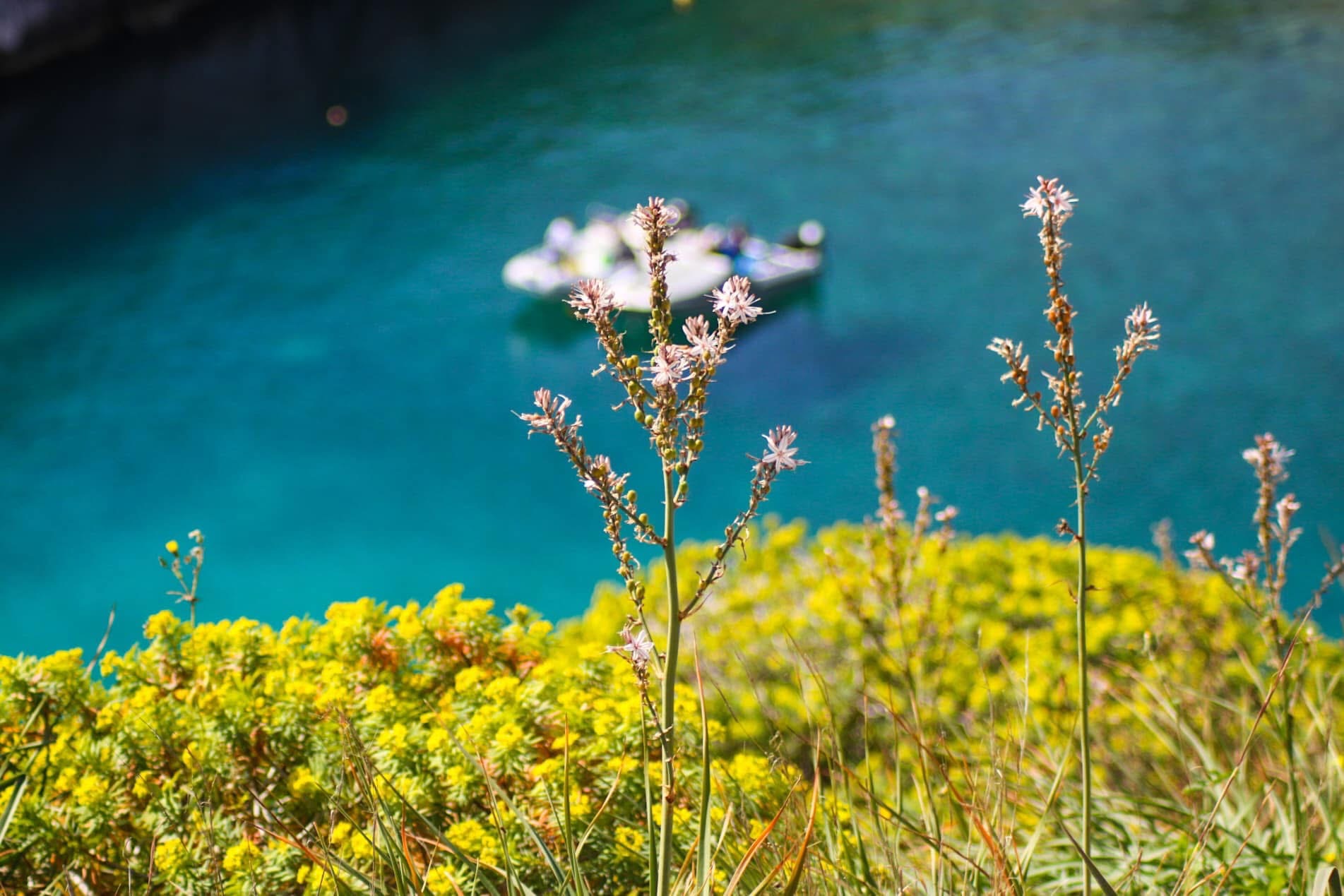
Climb out of the inlet on the western side. The trail heads along the clifftops through garigue — that low, aromatic scrubland of wild thyme, sea lavender, and rock samphire that smells like the Mediterranean distilled into a single breath.
This is the quietest section. You might see a farmer. You'll definitely see lizards. The path follows the cliff edge loosely — sometimes close enough to see the sea 50 metres below, sometimes cutting inland through abandoned terraces.
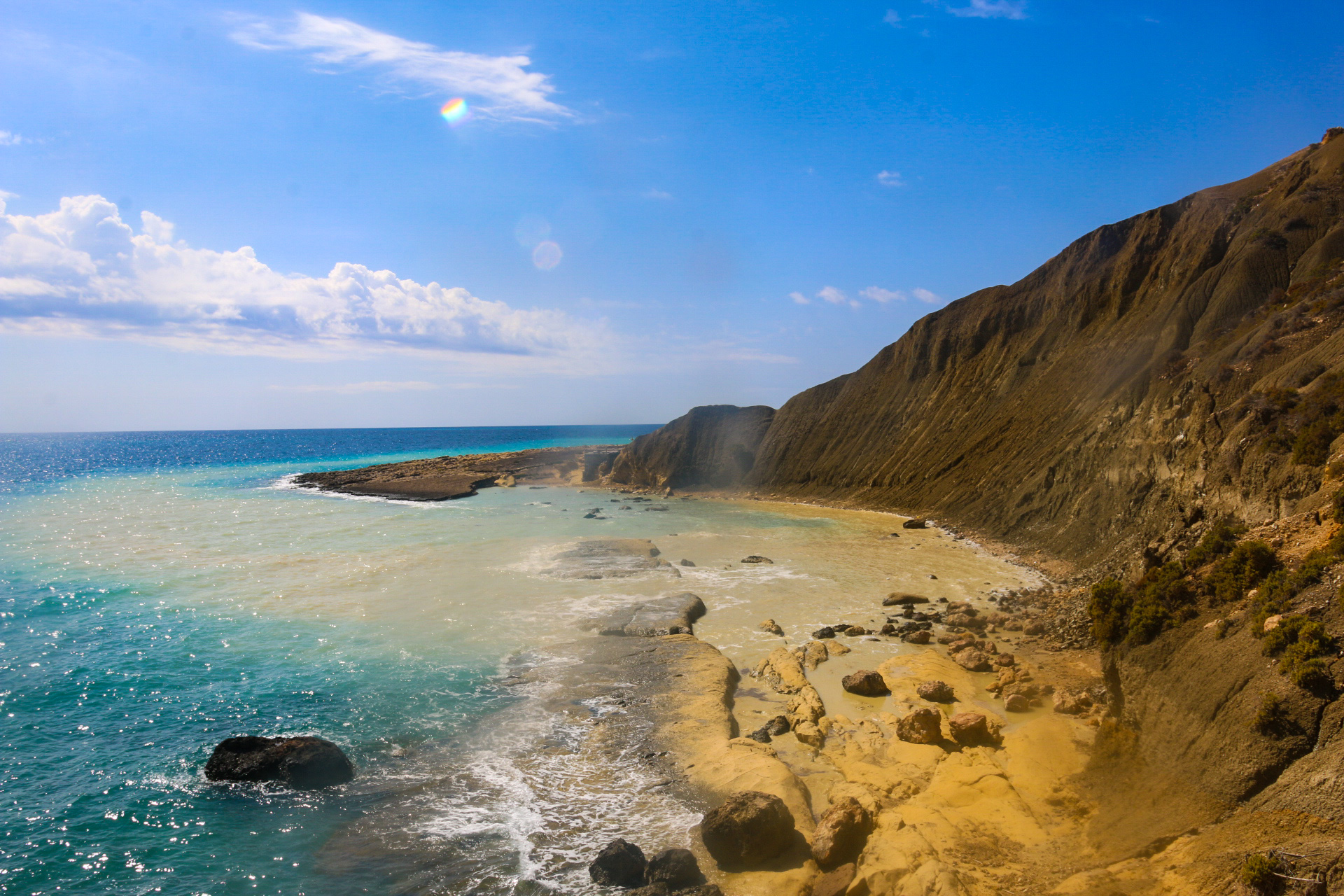
Ta' Ċenċ is Gozo's highest point on the south coast — 130 metres of vertical limestone dropping into the sea. There's a hotel up top (the five-star kind, very quiet, very expensive), but the cliffs themselves are wild and open. No railings. No signs. Just the edge of the island and the sound of the sea hitting rock far below.
The cliff edges at Ta' Cenc and Sanap are unguarded. The limestone can be loose and crumbly near the edge. Stay back from the drop, especially if it's windy. This isn't a theme park — it's a real cliff.
If you're here in spring, look for peregrine falcons riding the thermals off the cliff face. They nest in these walls. You'll hear them before you see them.
Sanap Cliffs to Xlendi (5 km, ~1.5 hours)
The trail continues west along the clifftops. This final section — the Sanap Cliffs — is the most photogenic stretch of the entire walk.
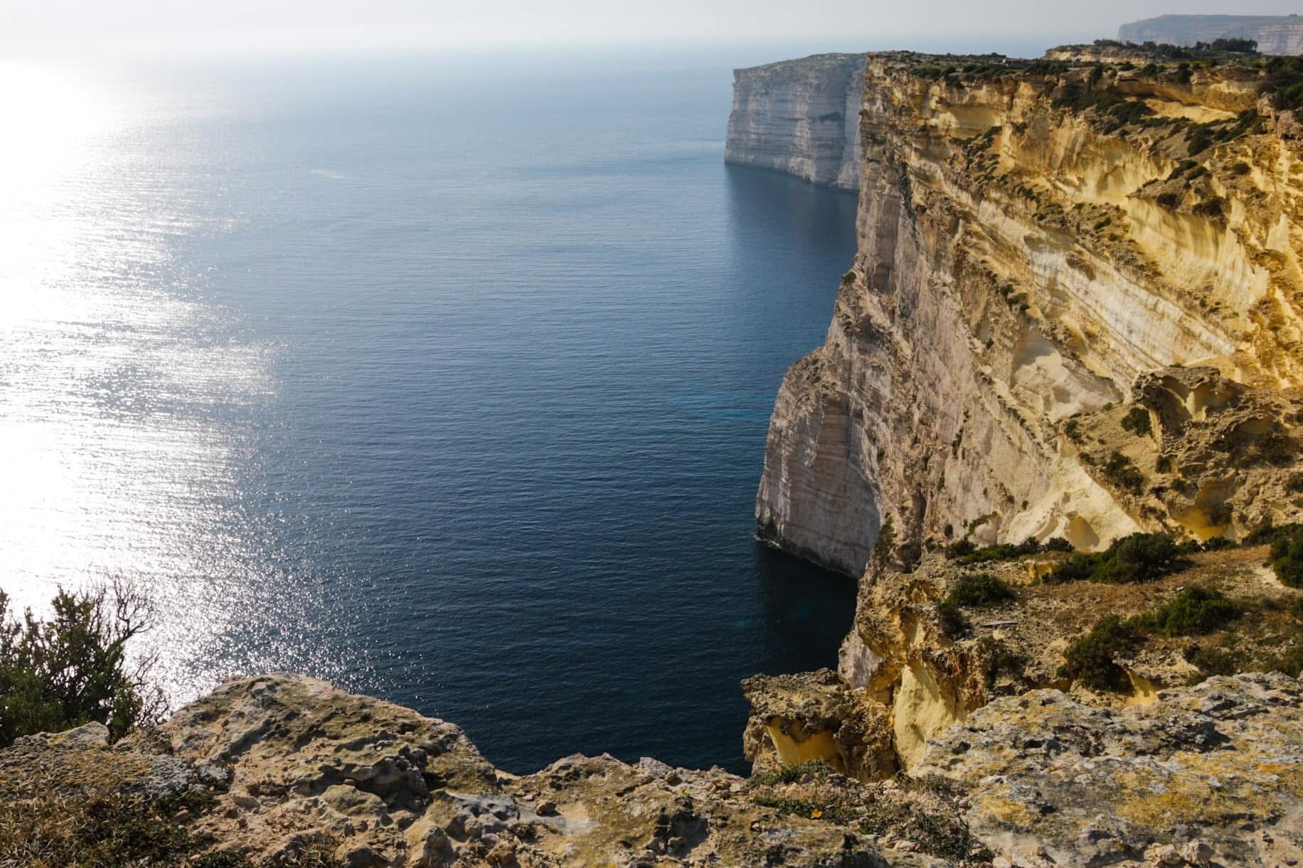
The limestone here is layered — honey gold on top, pale cream below — and the afternoon light turns it into something that belongs in a gallery, not a hiking blog. The sea below is the deep, dark blue that tells you the water is seriously deep. No turquoise here. This is open Mediterranean.
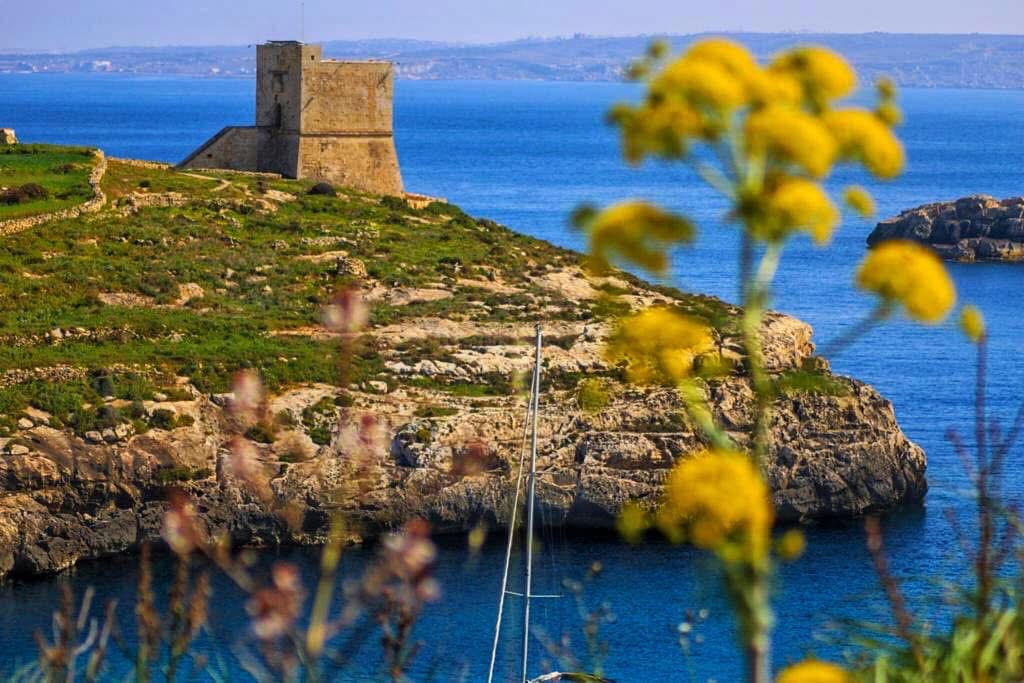
As you approach Xlendi, you'll spot the Xlendi Tower — another 17th-century watchtower, this one perched on the cliff above the bay entrance. The views back along the coast you just walked are worth the stop.
Then the trail drops into Xlendi Bay and everything changes. Suddenly there are restaurants. People. The smell of grilled fish. A small sandy beach. Cold beer.
You've earned all of it.
 📷 PLACEHOLDER — add your photo here. Ideal: the first view of Xlendi Bay from the descending trail, or the waterfront from the water's edge after arrival. The payoff shot — this is what 12km looks like from the other side.
Xlendi is tiny — maybe 200 metres of waterfront. But it has everything you need after a 12km walk: a swim spot, a couple of good restaurants, a bus stop. Grab a table at the water's edge, order a Cisk (Malta's beer), and watch the fishing boats come back while the sun sets. This is the Gozo that people miss.
What to Bring
Getting There & Getting Back
Getting there: Take the Gozo ferry from Ċirkewwa (Malta). The crossing takes 25 minutes and drops you at Mġarr Harbour — your starting point. No bus needed. Just start walking south.
Getting back from Xlendi: Bus 306 runs from Xlendi to Victoria (Gozo's main town). From Victoria, bus 301 goes to Mġarr Harbour for the ferry back to Malta. Total journey about 30 minutes. Alternatively, pre-book a taxi from Xlendi — it's about a 15-minute drive to the ferry terminal.
| Option | Details | Cost |
|---|---|---|
| Bus (Xlendi → Victoria → Mgarr) | 306 then 301, runs regularly | €1.50 per ride (Tallinja card) |
| Taxi (pre-booked) | ~15 min direct to Mgarr Harbour | ~€15 |
| Hire someone to collect you | Arrange with hotel/Airbnb host | Varies |
| Just stay in Xlendi | Book a room, hike back tomorrow | Best option honestly |
Why This Walk
I've done a lot of hikes in the Maltese Islands. The Comino loop. The San Blas descent. The Dingli Cliffs walk on Malta's west coast. None of them hit quite like this one.
The Mġarr to Xlendi trail has everything. A Hollywood film location with water that looks CGI. Cliffs that make you feel small. Farmland that makes you want to quit your job and grow tomatoes. A watchtower on every headland. And a cold beer at the end.
| Mgarr to Xlendi | Comino Loop | San Blas Trail | |
|---|---|---|---|
| Distance | ~12 km | ~8.5 km | ~1 km |
| Time | 3.5–4.5 hours | 2.5–3.5 hours | 15–20 minutes |
| Difficulty | Moderate | Moderate | Moderate (steep) |
| Swim spots | Mgarr ix-Xini | Crystal Lagoon + Santa Marija | San Blas Bay |
| Finish reward | Xlendi restaurants and beer | Back to the ferry | Back up the hill |
| Crowd level | Almost zero | Empty (shoulder season) | Always quiet |
| Hollywood bonus | By the Sea filming location | None | None |
Twelve kilometres. Four hours. Zero crowds. One cold beer at the end.
Allura — see you on the trail.
Thinking about doing this walk? Drop me a message and I'll help you plan the timing and logistics.
More Gozo hikes: Comino Full Island Loop | San Blas Bay Hidden Trail